honky tonkin'
Trans America Trail
September 15, 2018 — Oregon
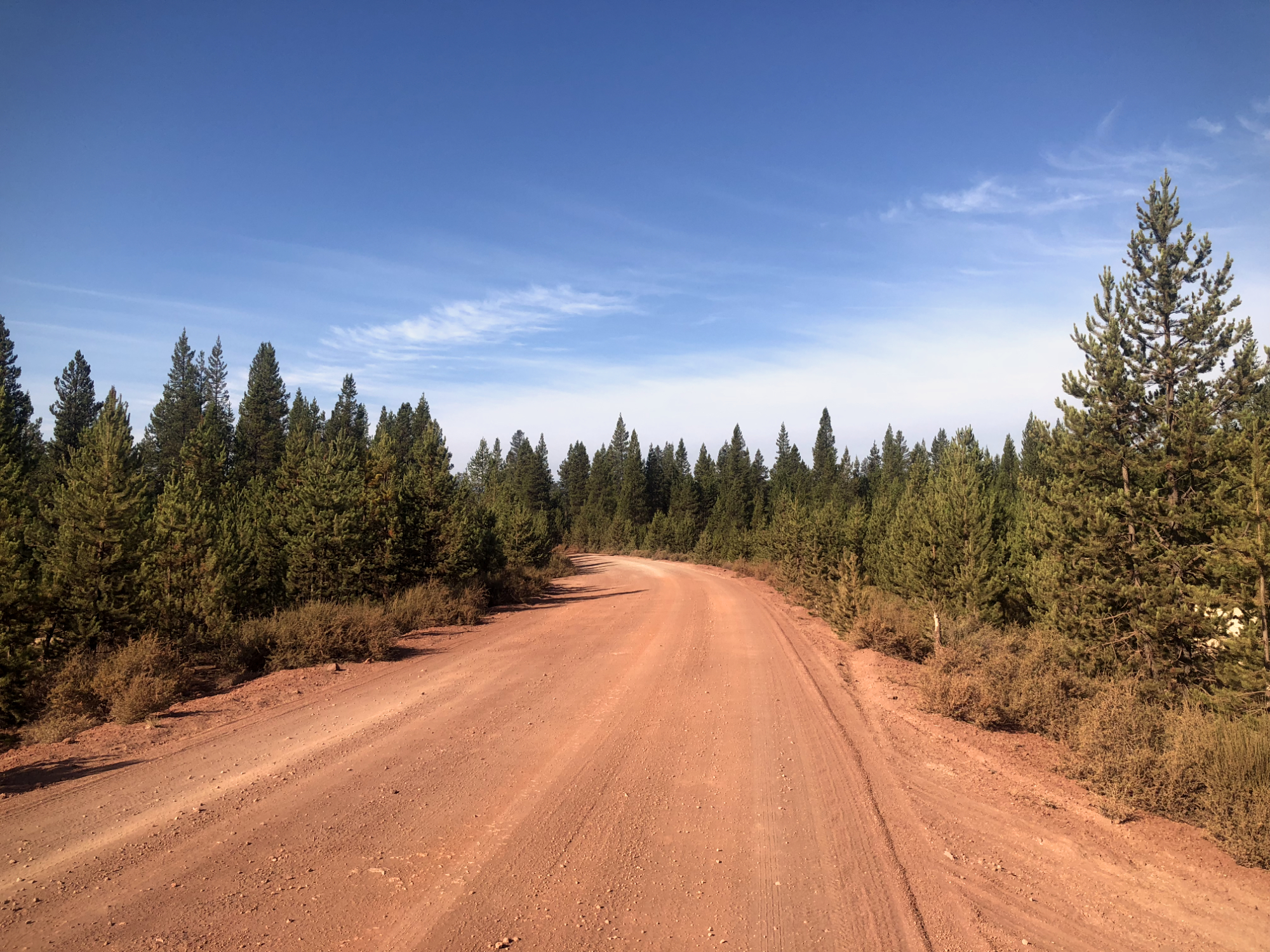
My seat had a layer of frost this morning when I went to start the bike up. It was chilly, but the sun would quickly warm everything up. From La Pine to Crescent the roads were sandy, and they reminded me of the Pine Barrens but with taller trees. Nothing was too deep or sketchy, and the morning passed pleasurably.
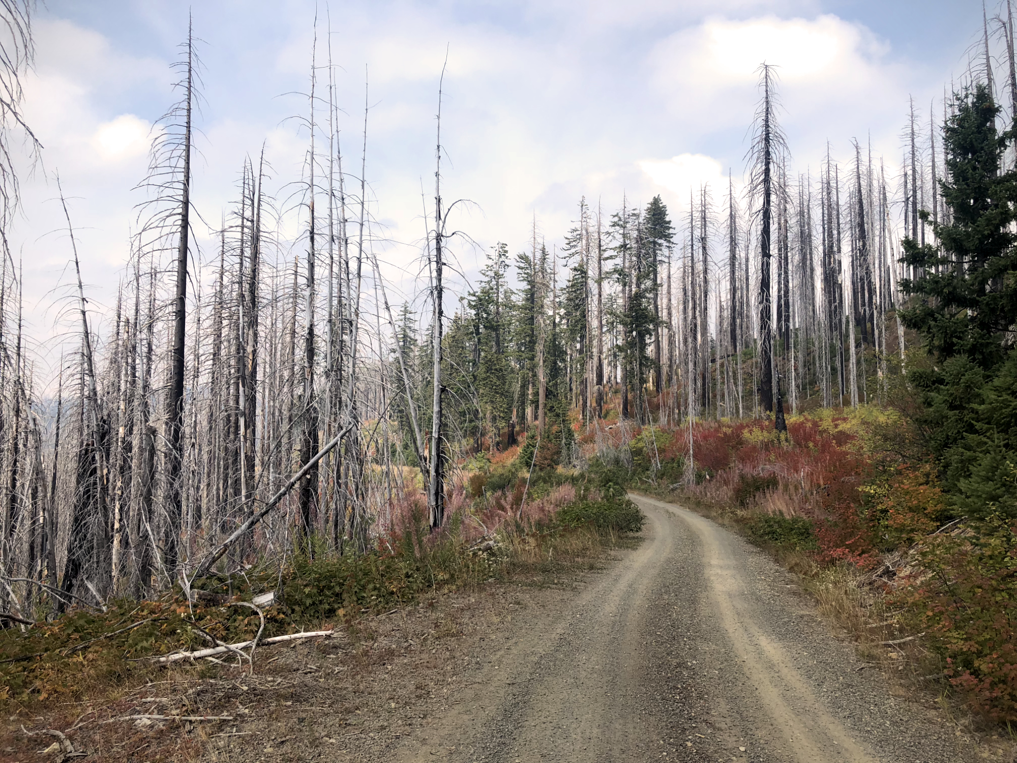
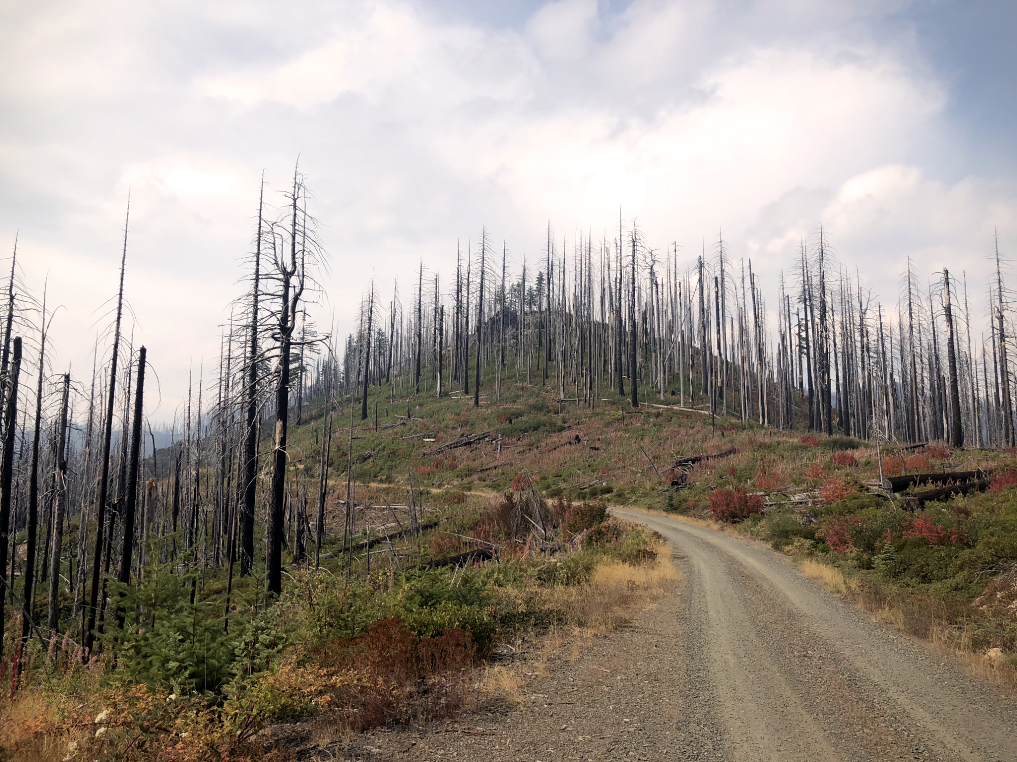
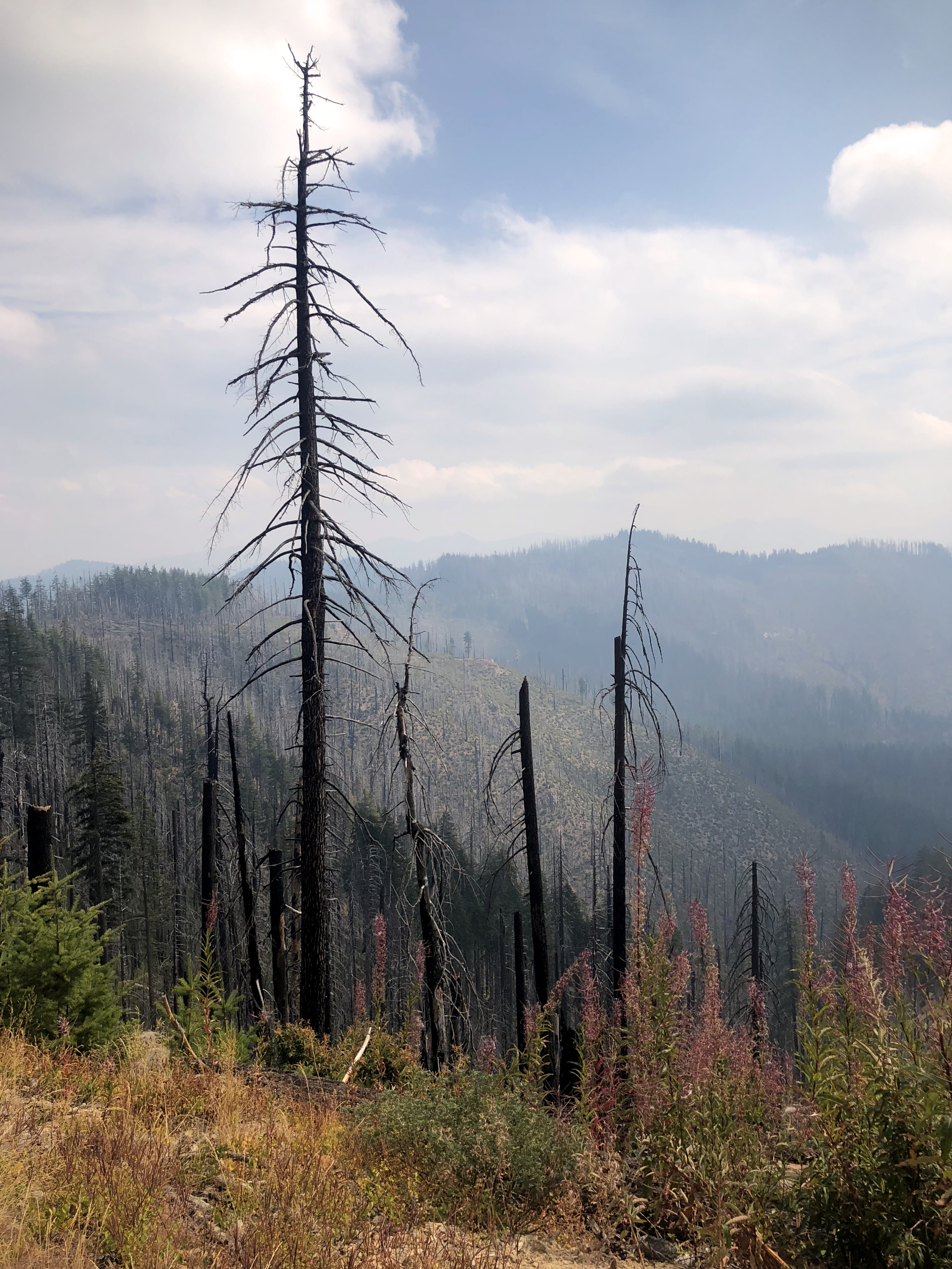
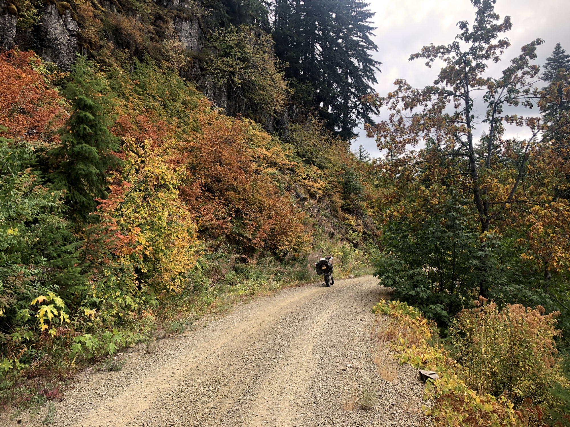
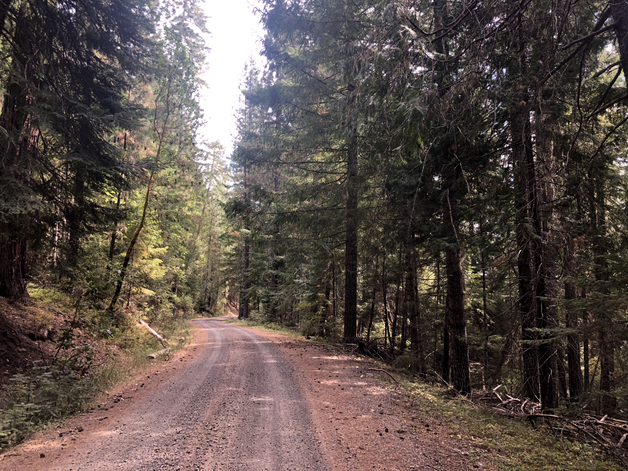
The trail headed through the Oregon Cascades and into Umpqua National Forest which had some fun, fast, windy sections. Up along Rhododendron Ridge, lots of fire damage was visible, and the air was thick with smoke.
After hitting Forest Road 29, the section leading to Tiller was closed due to fire, so it was in to town on the twisty road that followed Jackson Creek.
I was expecting fuel in Tiller but found that the entire town boarded up. A guy waiting at the ranger station told it had been bought up a year or two ago. We chatted for a while, and he said there was a gas station at Days Creek, that they closed early on Sunday, which they had by the time I arrived. So I rode to Canyonville for gas and then took the interstate a few miles to Azalea. I do wish Sam would update his maps more frequently with this type of information. I should have just filled up in Crescent.
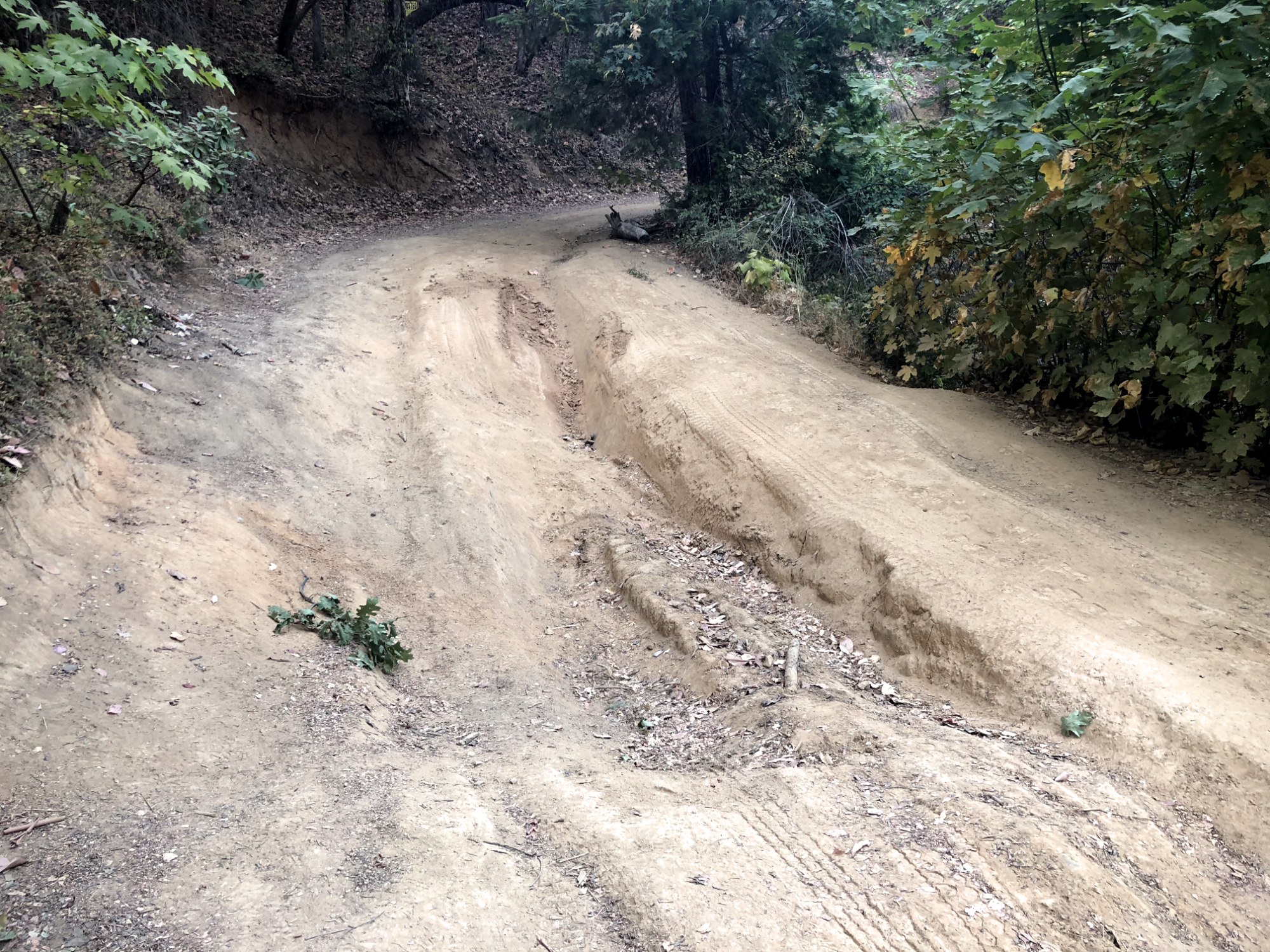
I got back on the TAT at Azalea, and it followed a nice county road. At Glendale, I punched in Wolf Creek Inn to Google Maps, and it sent me on deeply rutted dirt road into town. About half a mile from town, there were huge pits in the road that were easy enough to get around on a bike but good luck if you try to bring four wheels over that road.
I had dinner at the inn and got to sleep early. I should be in Port Orford around lunchtime tomorrow.